Sankt Radegund bei Graz
Sankt Radegund bei Graz (souvent abrégé en St. Radegund ; « Sainte-Radegonde-lès-Graz » en français) est une commune autrichienne du district de Graz-Umgebung en Styrie.
| Sankt Radegund bei Graz | |
 Héraldique |
|
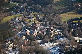 Sankt Radegund bei Graz vue du Schöckl. | |
| Administration | |
|---|---|
| Pays | |
| Land | |
| District (Bezirk) |
District de Graz-Umgebung |
| Code postal | A-8061 |
| Immatriculation | GU |
| Indicatif | +43(0)3132 |
| Démographie | |
| Population | 2 165 hab. ([1]) |
| Densité | 100 hab./km2 |
| Géographie | |
| Coordonnées | 47° 10′ 52″ nord, 15° 29′ 22″ est |
| Altitude | 717 m |
| Superficie | 2 160 ha = 21,6 km2 |
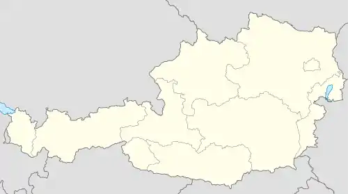
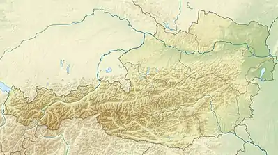
| Localisation | |
Géographie

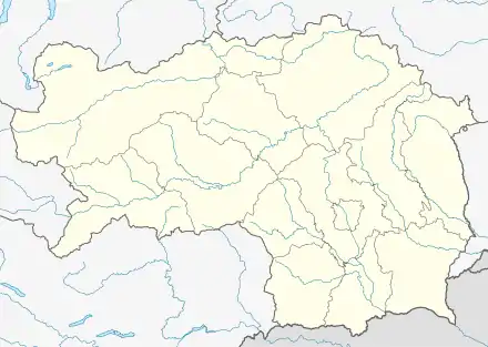
Situation de la commune dans le district de Graz-Umgebung.
Sankt Radegund bei Graz se situe à 13 km à vol d’oiseau au nord-nord-est de Graz. Le village se trouve au pied du mont Schöckl, dont le sommet appartient au territoire de la commune.
La commune comprend huit localités (Ortschaften)[2] :
- Diepoltsberg (234 habitants),
- Ebersdorf (177 habitants),
- Kickenheim (115 habitants),
- Rinnegg (532 habitants),
- Sankt Radegund bei Graz (790 habitants),
- Schöckl (123 habitants),
- Willersdorf (173 habitants au 1er janvier 2020).
Histoire
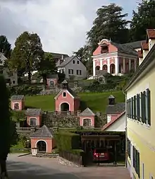
Le calvaire de Sankt Radegund bei Graz.
Notes et références
- « Einwohnerzahl 1.1.2018 nach Gemeinden mit Status, Gebietsstand 1.1.2018 », Statistik Austria (en) (consulté le )
- (de) « Einwohnerzahl nach Ortschaften 1.1.2020, Gebietsstand 1.1.2020 », Statistik Austria, (consulté le )
 Portail de l'Autriche
Cet article est issu de Wikipedia. Le texte est sous licence Creative Commons - Attribution - Partage dans les Mêmes. Des conditions supplémentaires peuvent s'appliquer aux fichiers multimédias.