Bilanga (département)
Bilanga est un département et une commune rurale de la province de la Gnagna, situé dans la région Est au Burkina Faso.
Pour les articles homonymes, voir Bilanga (homonymie).
Pour le village chef-lieu, voir Bilanga.
| Bilanga | |||
| Administration | |||
|---|---|---|---|
| Pays | |||
| Région | Est | ||
| Province | Gnagna | ||
| Type | Département Commune rurale |
||
| Subdivisions | 67 villages | ||
| Chef-lieu | Bilanga | ||
| Conseillers municipaux | 54 | ||
| Démographie | |||
| Population | 92 265 hab. (2006) | ||
| Géographie | |||
| Coordonnées | 12° 33′ 00″ nord, 0° 02′ 00″ ouest | ||
| Divers | |||
| Fuseau horaire | UTC +0 | ||
| Indicatif téléphonique | +226
|
||
| Localisation | |||
 Les départements de la province de la Gnagna. | |||
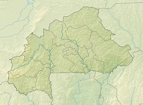
| Géolocalisation sur la carte : Burkina Faso
Géolocalisation sur la carte : Burkina Faso
| |||

En 2006, le dernier recensement comptabilise 92 265 habitants[1].
Villages
Le département et la commune rurale de Bilanga se compose de soixante-sept villages, dont le village chef-lieu homonyme (données de population du recensement général de 2006) :
- Balamanou (397 habitants)
- Banga (784 habitants)
- Bartiboagou (179 habitants)
- Benhourgou (1 049 habitants)
- Bilamperga (2 107 habitants)
- Bilamperga-Peulh (46 habitants)
- Bilanga (3 893 habitants), chef-lieu
- Bilanga-Yanga (3 414 habitants)
- Bilanga-Yanga-Peulh (250 habitants)
- Bossongri (2 075 habitants)
- Botou (1 073 habitants)
- Boungou (3 603 habitants)
- Bourpangou (1 168 habitants)
- Cissa (1 023 habitants)
- Diamdiara (1 450 habitants)
- Diamdoari (387 habitants)
- Diankoudoungou (1 908 habitants)
- Diapoadougou (2 296 habitants)
- Diéla (1 068 habitants)
- Dipienga (4 486 habitants)
- Dola (884 habitants)
- Doundougou (567 habitants)
- Fétary (1 323 habitants)
- Garpiéni (1 253 habitants)
- Gninsonguin (1 394 habitants)
- Gomonsgou (816 habitants)
- Guinoama (767 habitants)
- Harboungou (720 habitants)
- Hartery (2 142 habitants)
- Kabaré (1 846 habitants)
- Karbani (270 habitants)
- Kiryomdéni (781 habitants)
- Kogodou (2 291 habitants)
- Koguina (544 habitants)
- Kolonkomi (2 080 habitants)
- Koulmasga (492 habitants)
- Moadéga (748 habitants)
- Moaka (5 561 habitants)
- Nagniangou (1 372 habitants)
- Ougarou (4 273 habitants)
- Pantanloana (833 habitants)
- Paparcé (872 habitants)
- Papayenga-Diambanga (824 habitants)
- Piaga (738 habitants)
- Pissi (747 habitants)
- Pognankanré (1 592 habitants)
- Sabra (2 060 habitants)
- Sagadou (380 habitants)
- Saougou (545 habitants)
- Sebga (777 habitants)
- Sékouantou (1 674 habitants)
- Soultenga (911 habitants)
- Tampédou (2 759 habitants)
- Tampiokin (397 habitants)
- Tanibiaga (909 habitants)
- Thimborgou (36 habitants)
- Tiapaga (3 304 habitants)
- Tiguili (555 habitants)
- Tindané (1 481 habitants)
- Tobou (1 725 habitants)
- Tobou-Peulh (556 habitants)
- Tohogodou (1 016 habitants)
- Yacabé (851 habitants)
- Yassoumbaga (807 habitants)
- Yougpangou (2 610 habitants)
- Yougpankoudougou (526 habitants)
Notes et références
Liens externes
- « Liste des villes et villages de la région Est », sur Inforoute communale, Gouvernement du Burkina Faso, .
Articles connexes
 Portail du Burkina Faso
Cet article est issu de Wikipedia. Le texte est sous licence Creative Commons - Attribution - Partage dans les Mêmes. Des conditions supplémentaires peuvent s'appliquer aux fichiers multimédias.