Xian de Rutog
Le xian de Rutog (tibétain : རུ་ཐོག་རྫོང་།, Wylie : ru thog rdzong, pinyin tibétain : Rutog ; chinois : 日土县 ; pinyin : ) est un comté ou district administratif de la préfecture de Ngari, région autonome du Tibet en Chine.
Pour les articles homonymes, voir Rutog.
| Rìtǔ Xiàn 日土县 རུ་ཐོག་རྫོང་། | |
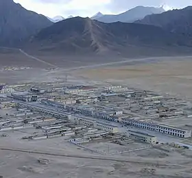 La Communauté de Jieguosang (杰果桑社区) est le centre-administratif du bourg de Rutog[2], lui-même chef-lieu du comté | |
| Administration | |
|---|---|
| Pays | |
| Province ou région autonome | Tibet |
| Préfecture | Ngari |
| Statut administratif | Xian |
| Code postal | 859700[3] |
| Indicatif | +86 (0)897 |
| Démographie | |
| 9 738 hab. (2010) | |
| Densité | 0,13 hab./km2 |
| Géographie | |
| Coordonnées | 33° 54′ 48″ nord, 80° 45′ 01″ est |
| Superficie | 7 709 583 ha = 77 095,83 km2 |
| Localisation | |
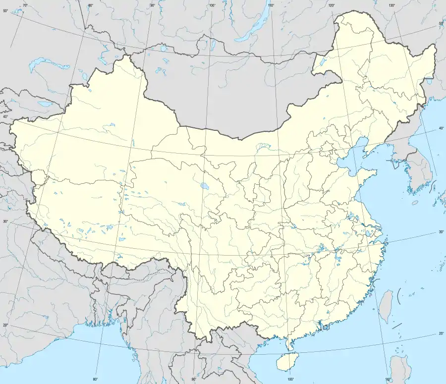
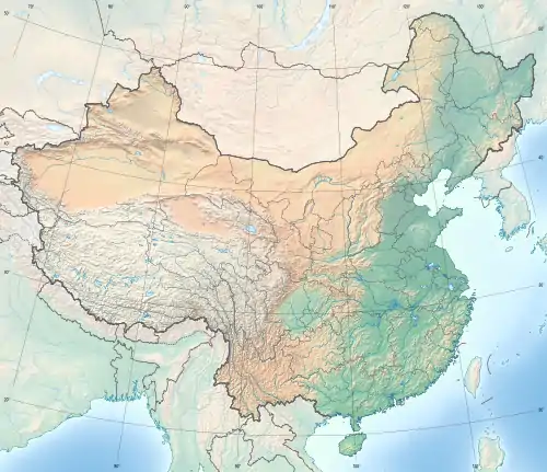
.png.webp) Localisation du xian de Rutog (en rose) dans la préfecture de Ngari (en jaune) | |
| Liens | |
| Site web | www.xzrt.gov.cn |
Histoire
Pétroglyphes
Le bourg de Wujiang, dans le comté de Rutog, comporte des pétroglyphes appelés pétroglyphes de Takangba, datés d'une période allant de l'âge où l'on y fabriquait des outils en métal, à l'époque de l'introduction du bouddhisme au Tibet, au VIe siècle[4]. On y trouve notamment des peintures sur pierre[5],[6].
Démographie
La population du district est de 9 738 habitants en 2010[7].
Subdivisions administratives
Le xian comporte un bourg et quatre cantons (ou xiang)[8] :
- bourg de Rudok (日土镇, ) ;
- Canton de Rebang (zh) (热帮乡, ) ;
- Canton de Risong (zh) (日松乡, ) ;
- Canton de Dongru (zh) (东汝乡, ) ;
- Canton de Duoma (zh) (多玛乡, ).
Notes et références
- (zh) « 西藏阿里地区日土县日土镇杰果桑社区 », sur Yigecun
- (zh) « 西藏阿里地区日土县日土镇杰果桑社区 », sur Yigecun
- (en) Codes postaux et téléphoniques de la région autonome du Tibet, (en) China Zip Code/ Telephone Code, ChinaTravel.
- (en) « Surveys of Petroglyphs at Takangba in Rutog County, Tibet », 《Archaeology》, Archaeology Department, Sichuan University, no 6, (lire en ligne)
- (Zhang 1999)
- (Wangdu et Dhondup 2014)
- http://www.xzqh.org/html/show/xz/20230.html
- (zh) « 2017年统计用区划代码和城乡划分代码:日土县. », sur 中华人民共和国国家统计局,
Bibliographie
- (en) Donna L. Gillette Ph.D., Mavis Greer Ph.D. (auth.), Donna L. Gillette, Mavis Greer, Michele Helene Hayward, William Breen Murray (eds.), Rock Art and Sacred Landscapes, New York, année=2014, Springer-verla, coll. « One World Archaeology 8 » (ISBN 978-1-4614-8405-9)
- (en) Sonam Wangdu et Yeshi Dhondup, « A Report of the Archeological Research Done on the Tibetan Plateau and Conjectures about Future Developments », The Tibet Journal, Library of Tibetan Works and Archives, vol. 35, no 3, , p. 41-59 (lire en ligne)
- (en) Zhang Yasha, « A tentative analysis on Chu Garbyang Rock paintings in Ruthog County of Ngari District : Discussing the related problem between rock paintings and Sumpi . China », Tibetology, no 2, , p. 56–59
- (en) Zhang Yasha, « Pagoda - shaped pictures in Tibetan rock art », China Tibetology, no 2,
 Portail du Tibet
  Portail de la Chine
Cet article est issu de Wikipedia. Le texte est sous licence Creative Commons - Attribution - Partage dans les Mêmes. Des conditions supplémentaires peuvent s'appliquer aux fichiers multimédias.