Ligne 17 du tramway de Budapest

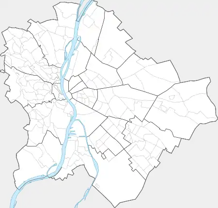
La ligne 17 du tramway de Budapest (en hongrois : budapesti 17-es jelzésű villamosvonal) circule entre Bécsi út / Vörösvári út et Savoya Park. Au centre-ville de Budapest, du côté de Buda, elle traverse les quartiers d'Óbuda, Óbuda hegyvidéke, Újlak, Víziváros, Tabán, Szentimreváros,Lágymányos, Kelenföld et Albertfalva.

Pour les articles homonymes, voir Ligne 17.

Ligne 17 du tramway de Budapest

Réseau Tramway de Budapest
Terminus Bécsi út / Vörösvári út
Savoya Park
Communes desservies 1
Histoire
Exploitant Budapesti Közlekedési Zrt.
Infrastructure
Conduite (système) Conducteur
Exploitation
Matériel utilisé Tatra T5C5, CAF Urbos
Points d’arrêt 10
Longueur 14,8 km
Jours de fonctionnement L, Ma, Me, J, V, S, D
Lignes connexes   
 
1 4 6 19 41
47 47B 48 49 56
56A 59 59A 59B 61

Histoire

Tracé et stations

Liste des stations

   StationCorrespondancesArrondissementQuartierDesserte
 o  Bécsi út / Vörösvári út 1 19 41
137 160 218 237 260
260A
3e arr. Óbuda / Óbuda hegyvidéke
   Váradi utca 19 41
160 260 260A
   Szent Margit Kórház 19 41
   Selmeci utca 19 41
   Katinyi mártírok parkja 19 41 Amphithéâtre militaire d'Aquincum
   Kolosy tér 19 41
9 29 65 65A 109
111 165
Újlak Église paroissiale de la Visitation d'Újlak
   Zsigmond tér 19 41
9 109
2e arr. Synagogue de Frankel Leó utca
   Komjádi Béla utca 19 41
   Szent Lukács Gyógyfürdő 19 41 Thermes Szent Lukács
 o  Margit híd, budai hídfő H
Gare HÉV
 
4 6 19 41
9 26 91 109 191
226 291
Víziváros Tombeau de Gül Baba, Musée de la fonderie
 o  Mechwart liget 4 6
11 111
1er arr.
2e arr.
Víziváros / Országút Mechwart liget, Office central de statistiques, Bibliothèque de l'Office central de statistiques
 o  Széna tér 4 6
39
781 782 783 784 785
786 787 789 794 795
Millenáris
 o  Széll Kálmán tér M  
4 6 56 56A 59
59A 59B 61
5 16 16A 21 21A
22 22A 39 91 102
116 128 129 139 140
140A 142 149 155 156
222
Széll Kálmán tér, Porte de Vienne, Palais de la Poste
 o  Déli pályaudvar M
Gare MÁV
 
56 56A 59 59A 59B
61
21 21A 39 102 139
140 140A 142
1er arr.
12e arr.
Krisztinaváros
   Nagyenyed utca 61
   Királyhágó utca 61
105 139 140 140A 142
   Csörsz utca 61
212
12e arr. Németvölgy
   BAH-csomópont 61
8E 108E 110 112 139
140 140A 142 212
11e arr. Gellérthegy / Sashegy
   Budaörsi út / Villányi út 61
212 240
Gellérthegy / Kelenföld
   Alsóhegy utca 61
212
Szentimreváros
   Pető Intézet (Villányi út) 61
   Szüret utca 61
27
Lac Feneketlen, Église Saint-Aymeric
   Tas vezér utca 61
 o  Móricz Zsigmond körtér M  
6 19 41 47 47B
48 49 56 56A 61
7 27 33 114 213
214 240
Szentimreváros / Lágymányos
 o  Újbuda-központ M  
4 41 47 47B 48
56
33 53 58 150 153
154 212
Allee
   Csonka János tér 41 47 47B 48 56 Kelenföld
   Hauszmann Alajos utca 41 47 47B 48 56
 o  Etele út / Fehérvári út 1 41 47 47B 48 56
103 114
   Kalotaszeg utca 41 47 47B 48 56
103
   Andor utca 41 47 47B 48 56
103
   Albertfalva kitérő 41 47 47B 48 56
   Albertfalva utca 41 47 47B 48 56
114 213 214
Albertfalva
   Fonyód utca 41 47 47B 48 56
114 213 214
   Budafok kocsiszín 41 47 47B 48 56
7 58 114 213 214
   Savoya Park 48
141 158 241 250 251

Exploitation

Notes et références

    Voir aussi

    Articles connexes

    • Portail du chemin de fer
    • Portail de Budapest
    • Portail des transports en commun
    Cet article est issu de Wikipedia. Le texte est sous licence Creative Commons - Attribution - Partage dans les Mêmes. Des conditions supplémentaires peuvent s'appliquer aux fichiers multimédias.