Cotabato
Cotabato (officiellement : City of Cotabato) est une ville des Philippines, située sur l'île de Mindanao, dans la région autonome Bangsamoro où elle fait figure de capitale régionale. Enclavée dans la province de Maguindanao, elle était rattachée à la province de Cotabato, région de SOCCSKSARGEN jusqu'en janvier 2019, date à laquelle elle intègre la région autonome Bangsamoro.
Pour la province, voir Cotabato (province).
| Cotabato Cotabato City | ||
 Vue du ciel de la ville | ||
| Administration | ||
|---|---|---|
| Pays | ||
| Région | Bangsamoro | |
| Province | Cotabato | |
| Démographie | ||
| Population | 301 264 hab. (2010) | |
| Densité | 1 712 hab./km2 | |
| Géographie | ||
| Coordonnées | 7° 13′ 00″ nord, 124° 15′ 00″ est | |
| Superficie | 17 600 ha = 176 km2 | |
| Localisation | ||
 Maguindanao/Cotabato avec la ville de Cotabato en rouge. | ||
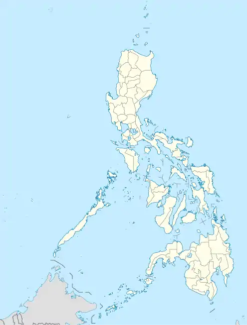
| Géolocalisation sur la carte : Philippines
| ||
| Liens | ||
| Site web | http://www.Cotabato.gov.ph | |
Barangays
Cotabato est divisée en 37 barangays.
|
|
|
Économie
Cotabato possède un aéroport (code AITA : CBO).
Personnalités liées à la ville
- Mgr Orlando Quevedo, archevêque de Cotabato, cardinal
- Mona Sulaiman (1942-2017), sportive philippine, y est née.
 Portail des Philippines
Cet article est issu de Wikipedia. Le texte est sous licence Creative Commons - Attribution - Partage dans les Mêmes. Des conditions supplémentaires peuvent s'appliquer aux fichiers multimédias.